167th Street Multi-Use Path
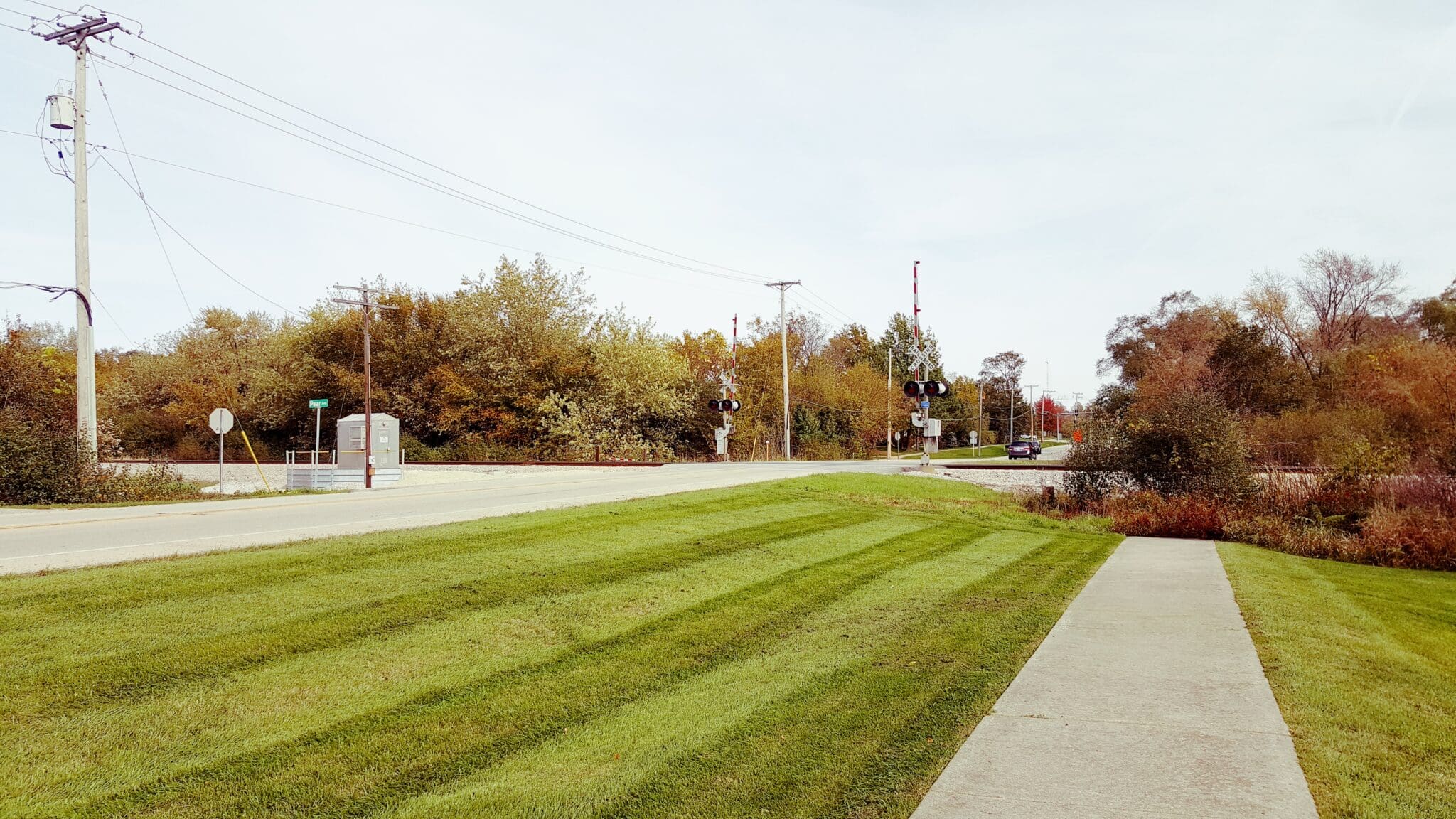
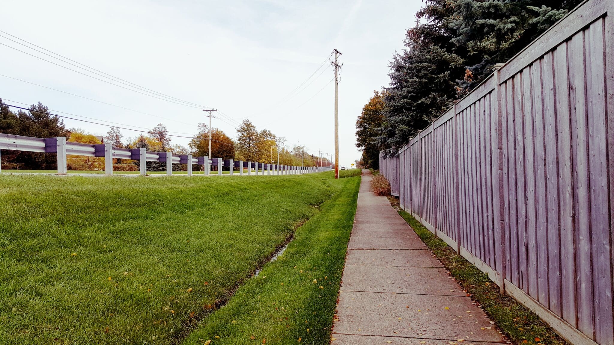
As part of the Village of Orland Park’s 2040 Transportation Plan, a new one-mile, multi-use path along 167th Street was proposed to connect the western-most development to the Orland Grasslands at 104th Avenue. Our team was brought on to help bring this goal to life and problem solve for a wide variety of challenges along the route, which included railroad crossings, wetland delineation, hydraulic modeling of culverts, and more. Project improvements included sidewalk removal, new asphalt path, earth excavation and embankment, segmented block retaining wall, grading and reshaping of existing ditches to accommodate the path, new storm sewer to replace portions of existing ditches where right-of-way is constrained, and tree removal and replacement.
Owner
Village of Orland Park
Project Manager
Kurt Corrigan
Market Sector
Local GovernmentPrimary Service Lines
Municipal ConsultingRegion
ChicagoAdditional Info
Project highlights:
- Services included coordination with the Norfolk Southern Railroad, Metra, and Illinois Commerce Commission to obtain consensus of the proposed at-grade pedestrian crossing and installation of pedestrian railroad gates. New pedestrian signal heads and push buttons were installed for the new crossings on Wolf Road and 108th Avenue intersections.
- We performed the wetland delineation for the project and determined Marley Creek to be a Waters of the U.S. and emergent wetland. Due to the location of the proposed improvements within the Marley Creek regulatory floodway/floodplain and the desire to minimize wetland and floodway/floodplain impacts we navigated the design and permitting to achieve minimal impacts and obtain all appropriate permits.
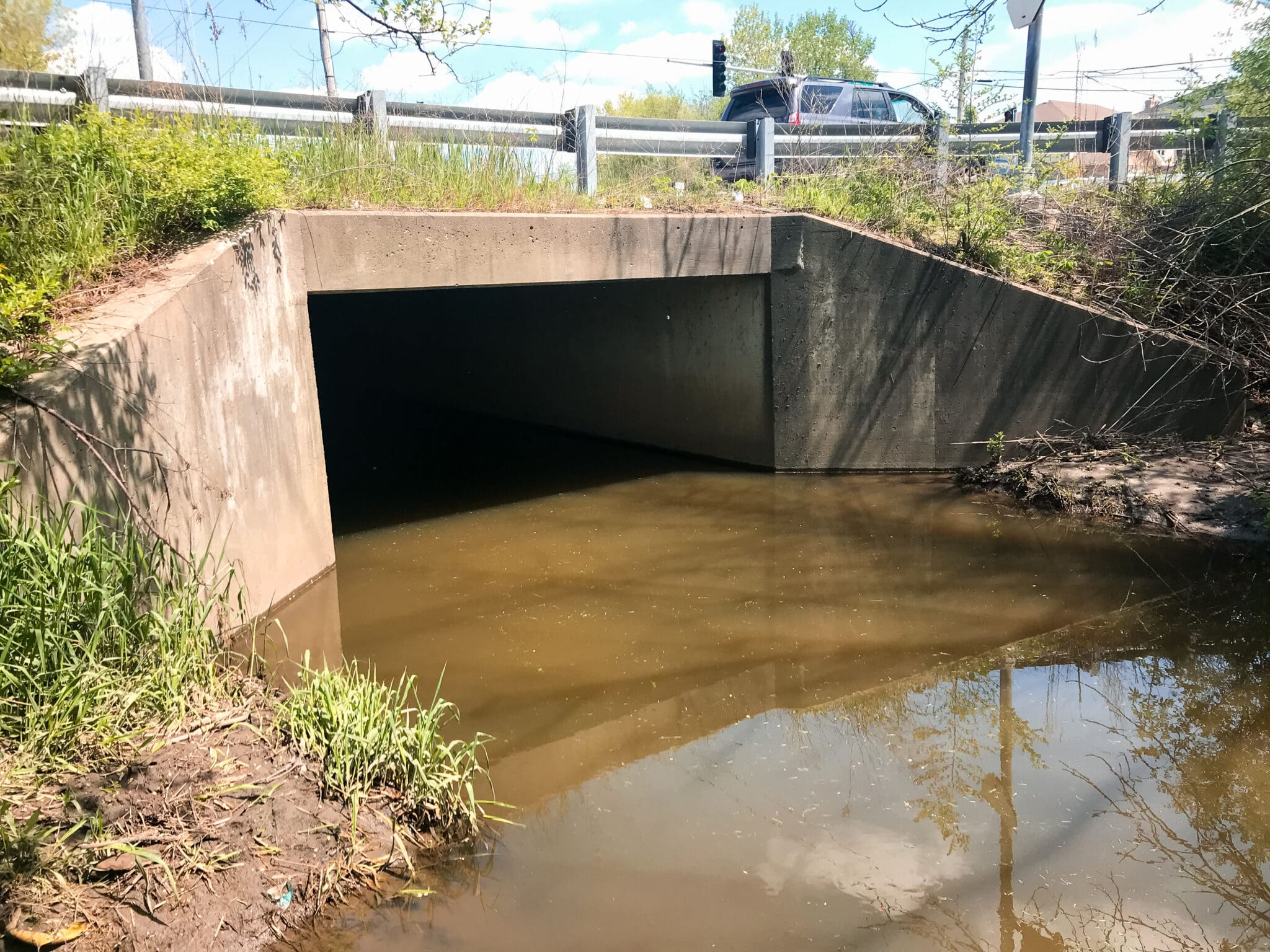
- The improvements included the extension of an existing box culvert at the southwest corner of 167th Street and Wolf Road to accommodate the new path as well as a new railroad crossing pad and pedestrian railroad signals where the path crosses the Metra southwest service line.
- The west end of the Wolf Road culvert was connected to the north end of the 167th culvert by curved structure making hydraulic modeling of culverts a key element of the project.
- An existing steep embankment was located just east of Wolf Road. Upon analysis of various options, a segmented block retaining wall was incorporated in the design to minimize right-of-way impacts and make it possible to retrofit the ADA compliant path.
- The project was locally funded and was processed through IDOT-Local roads so that the Village was eligible for federal funding for Phase II and Phase III Engineering and Construction.
Related Projects

Levine Cancer Proton & Advanced Radiation Center
As a pioneering facility in radiation treatment, this project marks a major leap forward in regional cancer care, overcoming numerous logistical and …
Norton Crossing
This project is designed to breathe new life into the area by demolishing over 18 acres of condemned housing and creating a new apartment complex, a …
Parker Civic Center
This 50,000-square-foot civic center showcases a blend of thoughtful design and community collaboration. V3 was instrumental in the site design, …

Highland Park Apartments
This modern mixed-use residential complex offers high-quality living spaces with convenient access to urban amenities.
