Navigating the many layers of government can be a confusing, frustrating process when trying to bring new projects to life and time consuming for administration. See how our Planning team developed an innovative tool to help clarify who regulates what and provide access to the various links needed to help residents, business owners, councilors, administration, and developers through the process.

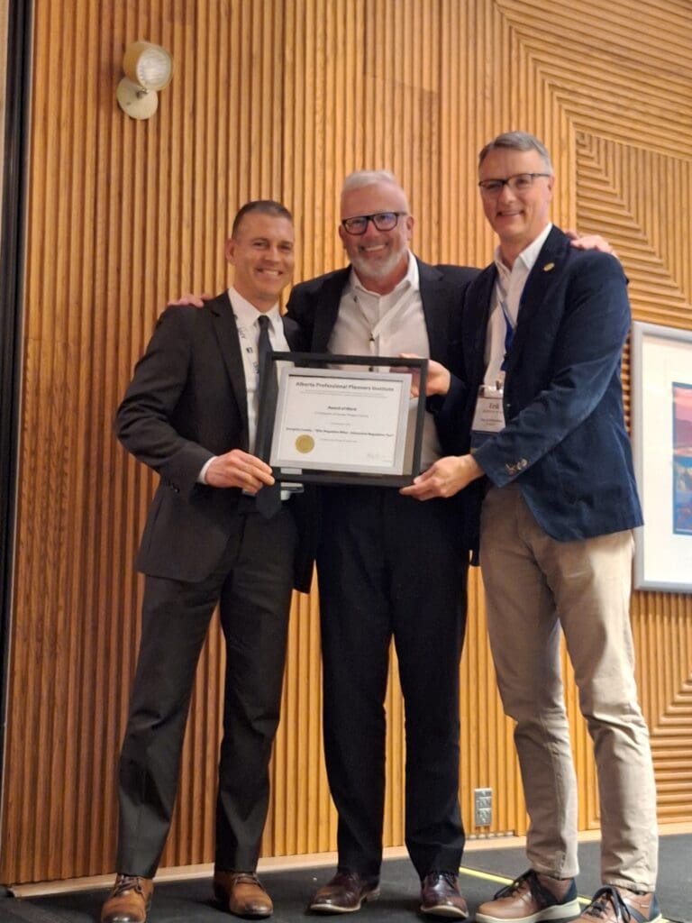
This project won a 2025 APPI Award of Planning Merit for its excellence in planning education.
Illustrating the path forward
Community planning is often met with delays and confusion on all sides of the table. One of the biggest challenges is identifying who regulates what in terms of government land use policies and procedures. Even within municipalities, there can be confusion as to which departments are responsible for approving various regulations, and the public can absorb a lot of municipal administration time chasing something the municipality is not responsible for.
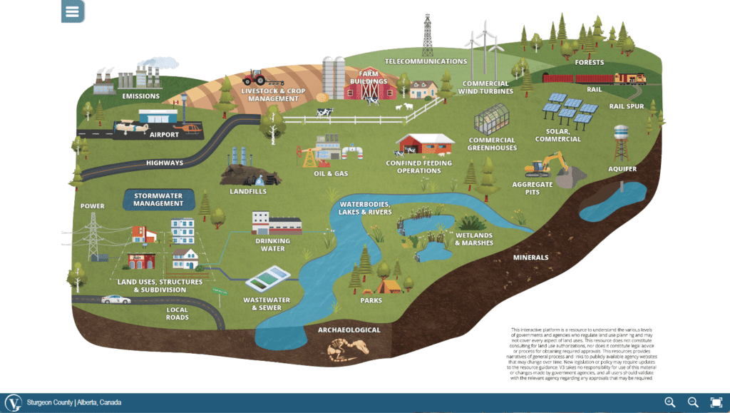
Our Planning team identified a difficulty in the system and help create an innovative, simple image land-use map for people to easily navigate.

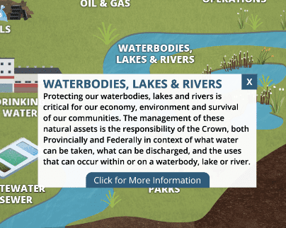
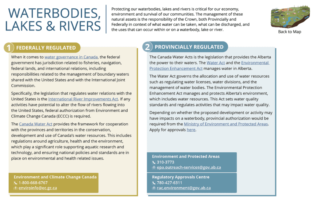
We piloted this tool with our client, Sturgeon County. First hosted on their website, this customized map illustrates the variety of regulatory bodies that affect residents, businesses, and developers looking to take on community land development. The interactive platform uses easy-to-discern illustrations of government agencies such as transportation, agriculture, power and energy, and more. When users hover over the graphics, pop-up windows give a short explanation of each sector along with links that dive into federal, provincial and/or local regulations. Users also get contact information for each department, making it easier to route questions to the correct source.


Thanks to its ease of use, this tool can be used in several ways, from community engagement to internal agency training. Its efficient, accessible information is proving to be a powerful asset in the community planning process.

“Our team took a complex problem and developed a simple solution. By transferring all the information as to who regulates what into an interactive image, we made it easier for people to find answers.”
Nick Pryce, RPP, MCIP, Planning Group Leader
From vision to reality

Turning complex ideas into easily digestible forms is what V3’s Planning team does best. Maneuvering municipality regulations is one thing; getting people on board with new ideas is another. Visualizing change isn’t easy and can cause resistance when not accurately portrayed, which is why our Planners prioritize clear graphics, renderings, and other illustrations to communicate progress. We use a variety of design tools to connect people and ideas in a positive, forward-thinking way and generate transparency between government and the public to build trust.
Our interactive planning map can be customized to any municipality looking for efficiency in their internal departments or external community. Connect with our team to learn more.
