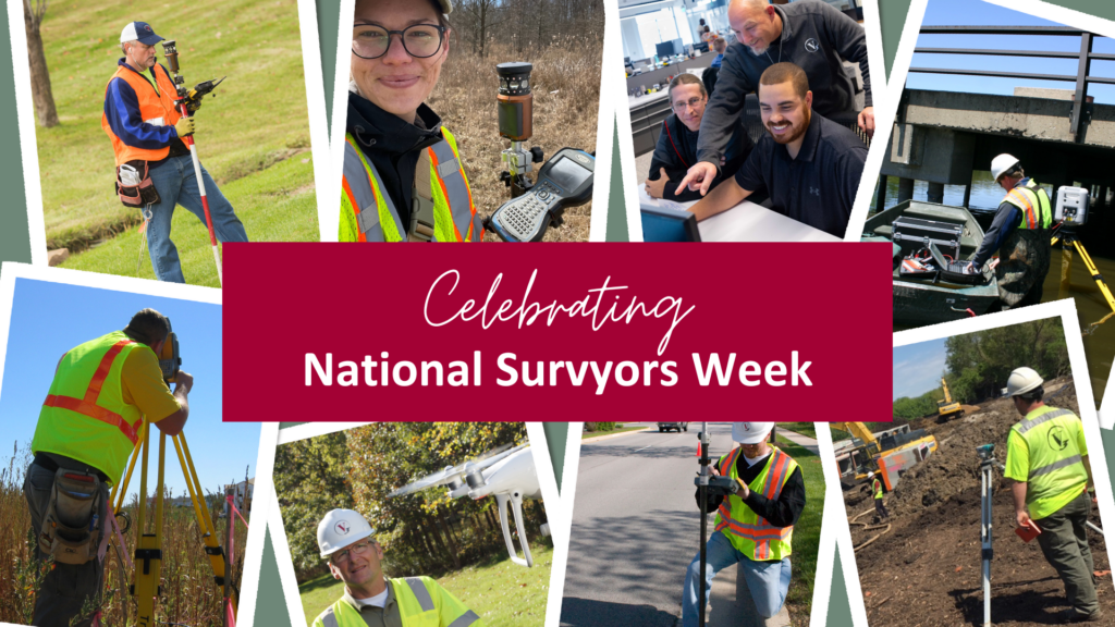
Happy National Surveyors Week! Our survey team harnesses the latest technology to accurately measure and map project sites. Watch our surveyors in action and learn how V3 is on the cutting edge of survey drones, software, and technology.
Art meets science
From high-rise buildings to the depths of quarries, land development begins with survey. Without a clear understanding of boundaries and environmental conditions, engineers, architects, and community builders cannot accurately plan and design next steps. Surveyors use a wide range of tools and technology to establish property lines, gauge elevation, and gather all the necessary information to move a project forward.
But it’s not just about collecting data. It takes skilled professionals to correctly wield and interpret these findings. Not only do surveyors need to choose the right devices to map each project, but they must apply a trained eye to find the right placement and use the right tools when out in the field.

“Technology helps us build more accurate, functional design. It’s a combination of art and science to get the details right.”
Grant Van Bortel, Senior Project Manager/Survey Technology & Field Manager
Flying high with sUAS
One way surveyors gather information is by flying drones, otherwise known as small, unmanned aircraft systems (sUAS). Our team takes to the skies for low altitude/high resolution aerial mapping services that deliver comprehensive, efficient results. V3’s FAA-licensed pilots operate the latest sUAS models in a wide variety of flight scenarios to capture the highest-quality NSPS accuracy standards. Rather than devote considerable time and manpower towards meticulously detailing a site, surveyors use drones to collect fast, exacting data readings of complex environments, providing unbeatable value and accuracy.
Drones use different payload sensor options for holistic data mapping. From RGB photographic to light detection and ranging (LiDAR) sensors, these options help our team account for a myriad of topography considerations, including tree canopies, building foundations, and more.
Once an area is mapped, surveyors upload the footage for further analysis and evaluation. Not only does this help our team envision and create next steps, but our clients receive the information they need to move forward in a fraction of the time.

“It’s a lot of fun to plan a mission and then go out and fly it. It’s also awesome to be at the tip of the spear when it comes to this type of technology here at V3.”
Logan Pierard, Project Surveyor I
Work with V3 surveyors
We offer survey services in Chicago, Charlotte, Columbus, Indianapolis, and beyond. Whether you’re looking to kickstart your next land development project or take the next step in your career, we have opportunities for you. Explore our current job openings or contact us to learn more!

