Land development is a high risk, high reward endeavor, but recent advances in site planning technology have paved the way for minimized uncertainty and maximizing success. Discover how V3 is using SITEOPS—the premier site planning software—to save time, money, and stress during the early stages of project feasibility.
What is SITEOPS?
SITEOPS is an advanced master planning software program that accelerates the land development process by providing real-time site analysis. This tool allows civil engineers, landscape architects, and other land development professionals to evaluate a site quickly, accurately assessing the pros and cons of a proposed project. By collecting infrastructure and topography data early in the development process, SITEOPS efficiently minimizes risks and presents solutions to move forward with confidence.
How does SITEOPS work?
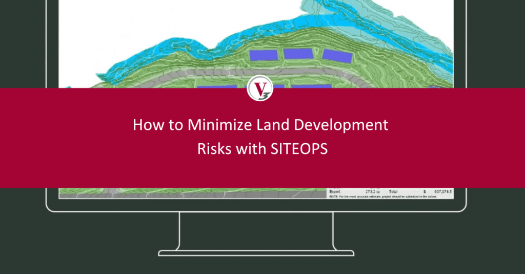
SITEOPS uses topographic data, property boundaries, and other site details to create a holistic view of site feasibility. When used by an experienced site planning professional, this technology cuts down the time needed to place design elements, adjust parameters, and analyze layout options. Preliminary designs can then be exported into compelling 3D models, empowering developers to fully visualize the site’s potential.
SITEOPS factors in:
- Parametric elements such as buildings, parking configuration, and roadways
- Detailed earthwork and grading
- Infrastructure and utility constraints
Harnessing this data allows engineers to quickly identify potential site issues such as natural hazards or infrastructure challenges that could impact development.
It also envisions what is possible within those restrictions, presenting multiple site layouts. SITEOPS users can easily adjust designs by modifying grading levels or building orientation to discover the best-case scenario for property development.
What are the benefits of SITEOPS?
This technology addresses real-world issues for land developers and creates actionable solutions. Incorporating SITEOPS into the due diligence process enables developers to make data-backed decisions, accurately weighing the realities of land costs, permitting challenges, and other hurdles.
SITEOPS helps developers:
- Save time – Developers can receive intricate, accurate site models in days instead of weeks.
- Save money – Thorough site analysis resulting in the cost-effective site layout option drastically cuts down on financial risk.
- Move forward with confidence – Decisions based on data and research minimizes unforeseen obstacles down the road.
The traditional due diligence process is labor intensive and doesn’t always capture every conceivable development issue, but SITEOPS’s built-in design and cost estimating capabilities have proven to be a game changer in land development.
Why developers should partner with experienced SITEOPS users
SITEOPS is a powerful tool, but only when in the hands of an experienced consultant. Imputing accurate site information into the software is a crucial first step; without expert data collection, recommendations may get skewed, presenting a false reality for what’s ahead.
At V3, our team of civil engineers, landscape architects, and surveyors are highly trained not only in SITEOPS but in traditional site planning practices, giving our clients the best of both worlds. Pairing expert advice with the latest technology has helped our clients stay ahead of the curve, providing a competitive advantage in identifying and developing properties.
We have modeled thousands of sites using SITEOPS, making our firm one of the most advanced users in the United States. Our goal is to provide comprehensive solutions for every development challenge; to accelerate your next land development project, contact our team.